Project geolocation: control and efficiency
We have rebuilt project geolocation. You now get a clearer, more complete tool to see at a glance where every job stands and where your teams are.
Consiga Soluciones 2 min read
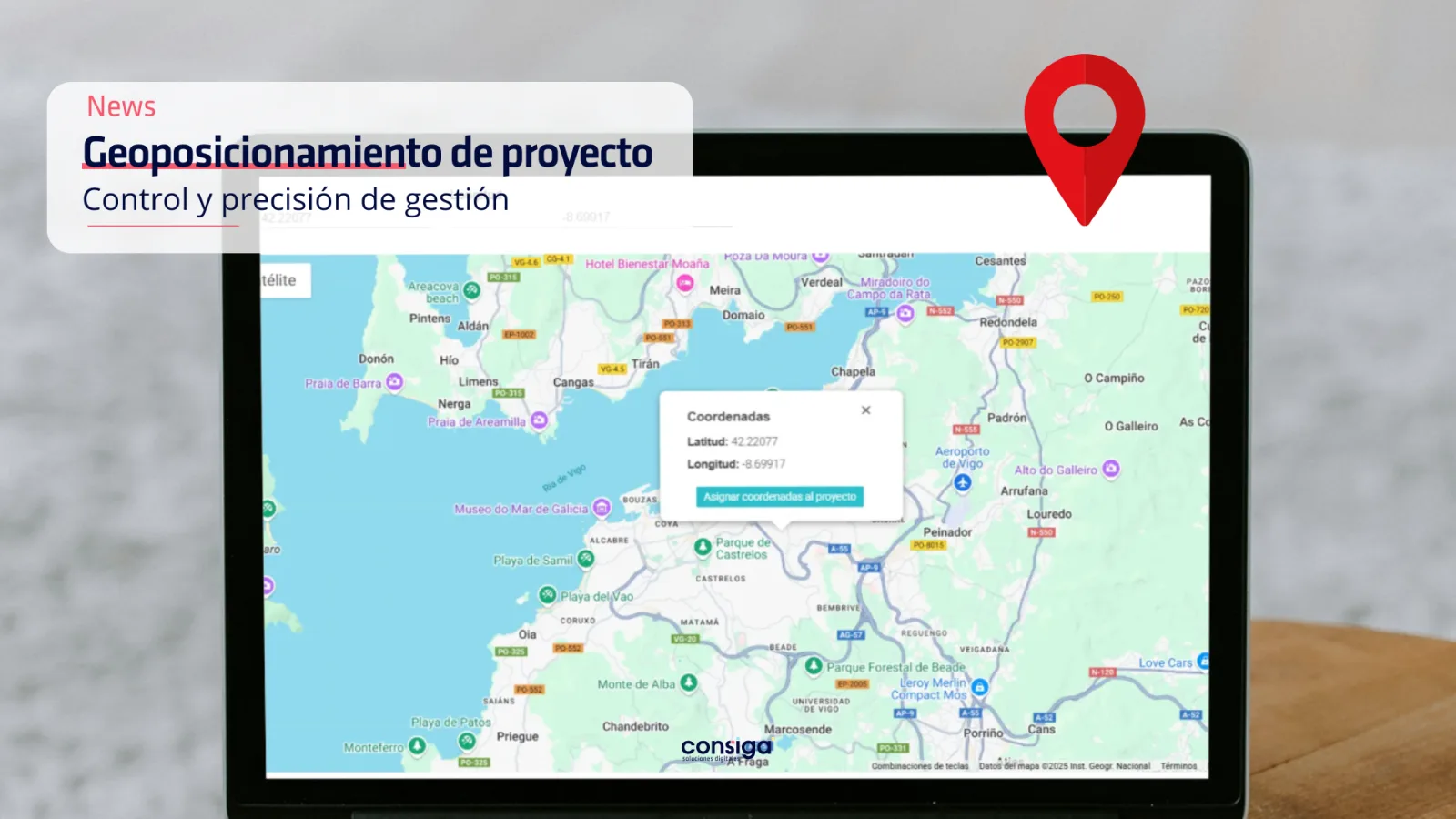
We have rebuilt project geolocation. You now get a clearer, more complete tool for seeing where every live project stands and where your vehicles are, in real time.
An interactive project map 🌍
This version brings in an interactive map showing every project your company is running in a given area. Each type of project carries an icon in the colour set for that type, so you can tell them apart at a glance.
Live vehicle tracking 🚗
You can now see exactly where each vehicle is on the map. The icons change with the state of the vehicle:
- ⚫ Grey: engine off.
- 🟢 Green: running and on the move.
Tracking this in real time is what lets you tighten up logistics and get more out of the resources you already have.
Coordinates on every project 📍
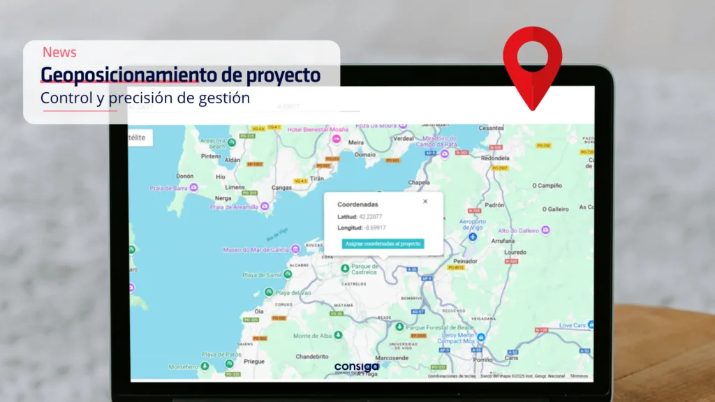
For tighter control, you can now give each project its exact coordinates. Enter the latitude and longitude of a new project and it appears on the map straight away. You can also set the coordinates by clicking the spot on the map, which is quicker still.
What you gain:
- Control in one place: every project on a single map, each where it really is.
- Resources better used: watch what the vehicles are doing as it happens.
- Better decisions: with the locations in front of you, planning stops being guesswork.
- Easy to use: an interface that responds and does not need a manual.
If you want to know more about this update and what it would mean for your company, get in touch and we will tell you everything you need to know. ✉️